Press
Press & Media Kit
It's a Bike Day is a live-data cycling conditions aggregator for DC, Maryland, Virginia, West Virginia, Pennsylvania, and Delaware. Independent, utility-focused. No ad networks, no affiliate links, no tracking. Free to link, cite, screenshot, or embed.
The one-paragraph pitch
Every named OSM cycling route across DC, MD, VA, WV, PA, and DE — 464 routes total — ranked by today's live conditions. The Bike Day Score combines weather (NWS), wind direction relative to each route's bearing, air quality (AirNow EPA), pavement state inferred from rainfall + temperature, daylight remaining, NPS and state DOT alerts, and barometric pressure trends. Updated every two hours. The wind-relative-to-route analysis works leg by leg from each route's polyline, so a tailwind on the outbound is correctly flagged as the headwind on the return.
Angles that might interest your readers
- Wind direction is the buried lead. Generic weather apps give you wind speed; the wind-relative-to-route classification per leg is what actually predicts whether a ride feels good. How it works.
- Air-quality-aware commuting. Wildfire smoke season, ozone alerts. Cyclists breathe hard — AQI matters more here than for sedentary audiences. Weighted heavily; AQI > 200 is a hard skip.
- Capital Bikeshare day-pass picks. Live station status across DC, Arlington, Alexandria, Bethesda, Silver Spring, and Rockville, with tourist-friendly route picks.
- The GAP / C&O thru-bikepacking corridor. Cumberland, MD as the linchpin between the Great Allegheny Passage and the C&O Canal towpath.
- OSM as cycling cartography. Every route on the site comes from a named
route=bicyclerelation in OpenStreetMap. The methodology page documents how distances, surface composition, and traffic exposure are derived directly from member-way tags.
Sample share cards
Every route page has a 1200×630 OG image suitable for Twitter, Facebook, iMessage, Slack, or direct embed. Three examples:
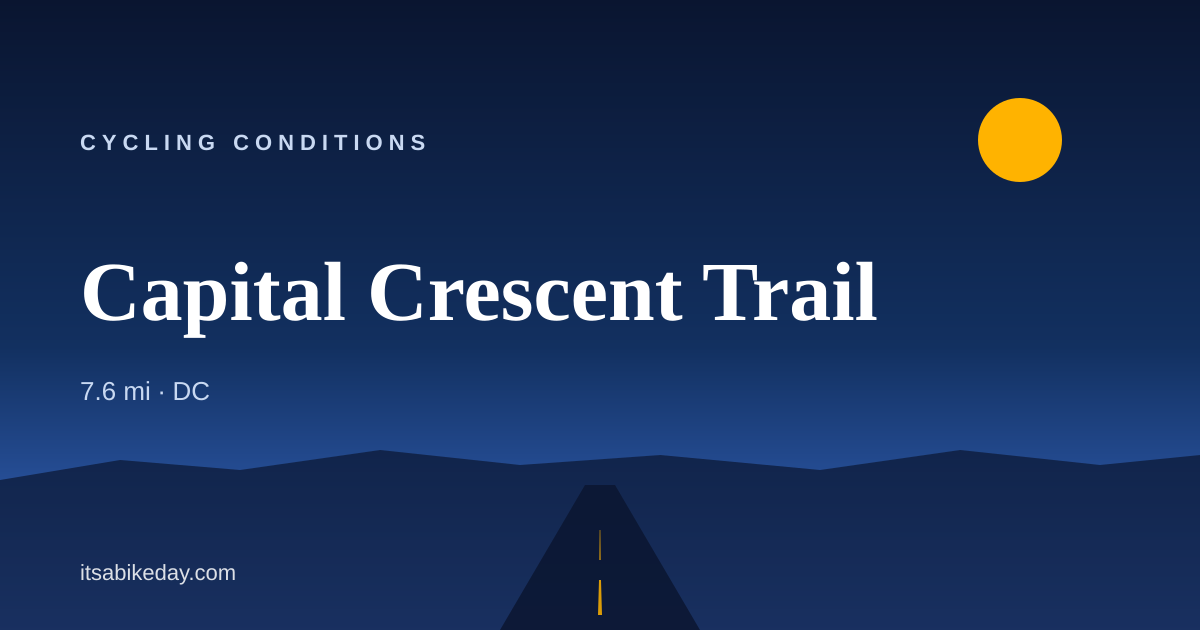
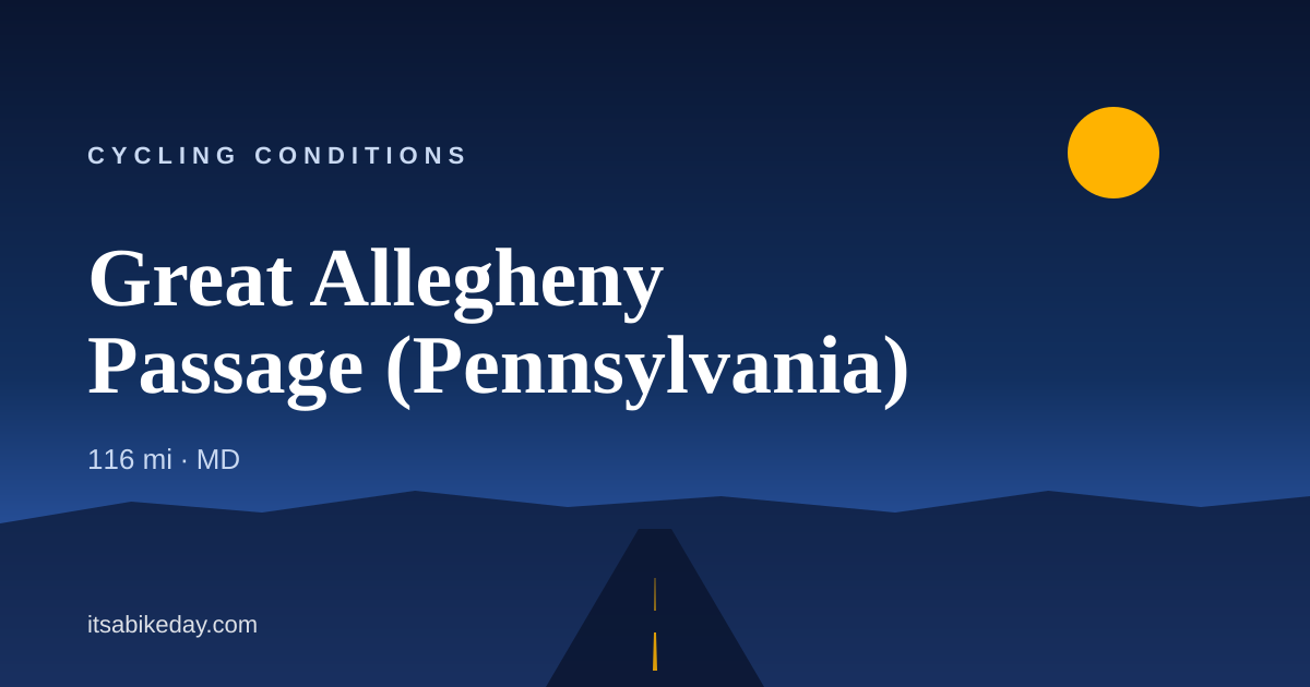

Direct image URLs (1200×630 PNG): https://itsabikeday.com/og/routes/{slug}.png for any route, /og/cities/{slug}.png for any city.
Data sources (for credit/context)
- National Weather Service API — forecasts, current conditions, alerts, hourly + barometric pressure
- AirNow (EPA) — air quality observations and forecasts
- OpenStreetMap via Overpass — every cycling route, plus bike infrastructure (cycleways, lanes, multi-use paths)
- Wikipedia REST API — route and city descriptions where the OSM relation is wikipedia-tagged
- GBFS — real-time bikeshare station status (Capital Bikeshare, POGOH, Indego)
- NPS API — alerts and closures on park-managed routes
- State DOT 511 feeds — Maryland CHART, Virginia 511, DC DDOT, DelDOT
- Open-Elevation + USGS — elevation profiles for every route
Full source list: /data-sources/.
Usage
You may:
- Link to any page or share card
- Screenshot or embed share cards in articles, tweets, broadcast graphics
- Cite the site as It's a Bike Day (itsabikeday.com)
- Reach out for custom data feeds, co-branded widgets, or feature requests
Contact
[email protected]
Happy to provide quotes, background, or a route-of-the-day feed for your outlet.